万本电子书0元读

万本电子书0元读

顶部广告

Ancient Perspectives电子书

售       价:¥

0人正在读 | 0人评论 9.8

作       者:Richard J. A. Talbert

出  版  社:University of Chicago Press

出版时间:2014-02-14

字       数:52.7万

所属分类: 进口书 > 外文原版书 > 文学/自传/回忆录

温馨提示:数字商品不支持退换货,不提供源文件,不支持导出打印

为你推荐

  • 读书简介
  • 目录
  • 累计评论(0条)
  • 读书简介
  • 目录
  • 累计评论(0条)
Ancient Perspectives encompasses a vast arc of space and time-Western Asia to North Africa and Europe from the third millennium BCE to the fifth century CE-to explore mapmaking and worldviews in the ancient civilizations of Mesopotamia, Egypt, Greece, and Rome. In each society, maps served as critical economic, political, and personal tools, but there was little consistency in how and why they were made. Much like today, maps in antiquity meant very different things to different people.Ancient Perspectives presents an ambitious, fresh overview of cartography and its uses. The seven chapters range from broad-based analyses of mapping in Mesopotamia and Egypt to a close focus on Ptolemy's ideas for drawing a world map based on the theories of his Greek predecessors at Alexandria. The remarkable accuracy of Mesopotamian city-plans is revealed, as is the creation of maps by Romans to support the proud claim that their emperor's rule was global in its reach. By probing the instruments and techniques of both Greek and Roman surveyors, one chapter seeks to uncover how their extraordinary planning of roads, aqueducts, and tunnels was achieved.?Even though none of these civilizations devised the means to measure time or distance with precision, they still conceptualized their surroundings, natural and man-made, near and far, and felt the urge to record them by inventive means that this absorbing volume reinterprets and compares.
目录展开

Cover

Copyright

Title Page

Series Page

Contents

Preface

Introduction

1. The Expression of Terrestrial and Celestial Order in Ancient Mesopotamia

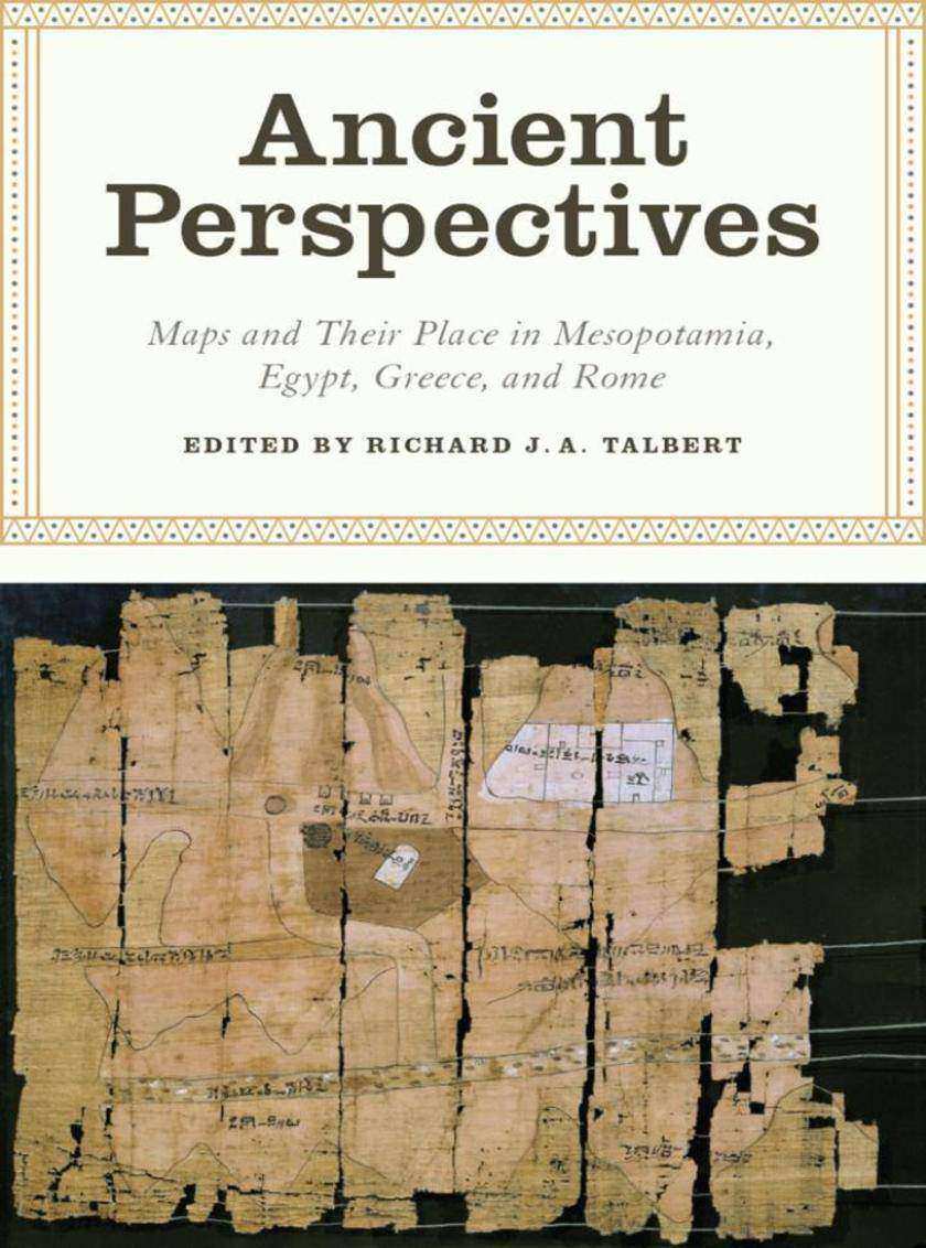
2. From Topography to Cosmos: Ancient Egypt’s Multiple Maps

3. Mapping the World: Greek Initiatives from Homer to Eratosthenes

4. Ptolemy’s Geography: Mapmaking and the Scientific Enterprise

5. Greek and Roman Surveying and Surveying Instruments

6. Urbs Roma to Orbis Romanus: Roman Mapping on the Grand Scale

7. Putting the World in Order: Mapping in Roman Texts

Notes

Bibliography

Contributors

Index

Plate Section

累计评论(0条) 0个书友正在讨论这本书 发表评论

发表评论

发表评论,分享你的想法吧!

买过这本书的人还买过

读了这本书的人还在读

回顶部